Online battle maps: how to monitor the situation at the front.

Online battle maps in Ukraine
According to inkorr.com: The 'Glavkom' website has prepared an interesting collection of online maps that depict the fighting in Ukraine. This will help to better understand the situation at the front, in particular, where the battles are taking place and how our Armed Forces are gradually liberating Ukrainian territories.
On the first map, Deep State Map, different colors denote the status of the territories:
- Blue: territories liberated in the last two weeks;
- Green: territories that have already been liberated;
- Gray: territories requiring clarification;
- Red: territories occupied by Russians;
- Dark red: Crimea and ORDLO;
- Light red: occupied territories of other states.
The map also displays railways, military units, headquarters, airfields, and directions of enemy attacks.
Additionally, there are two other maps – Liveuamap and ISW (Institute for the Study of War), which also present conditional designations and important military objects. These maps help to visually perceive the situation at the front and our successes in the war.
Let us all be cautious, relying only on reliable sources of information and official messages. Together we can overcome the enemy and restore peace and development to our country.
In the context of ongoing combat operations, it is essential to have reliable tools for monitoring the situation. Online maps become indispensable assistants not only for the military but also for civilians who want to stay updated on the latest events. The information on such resources may change rapidly, making the relevance of data critically important.
Read also
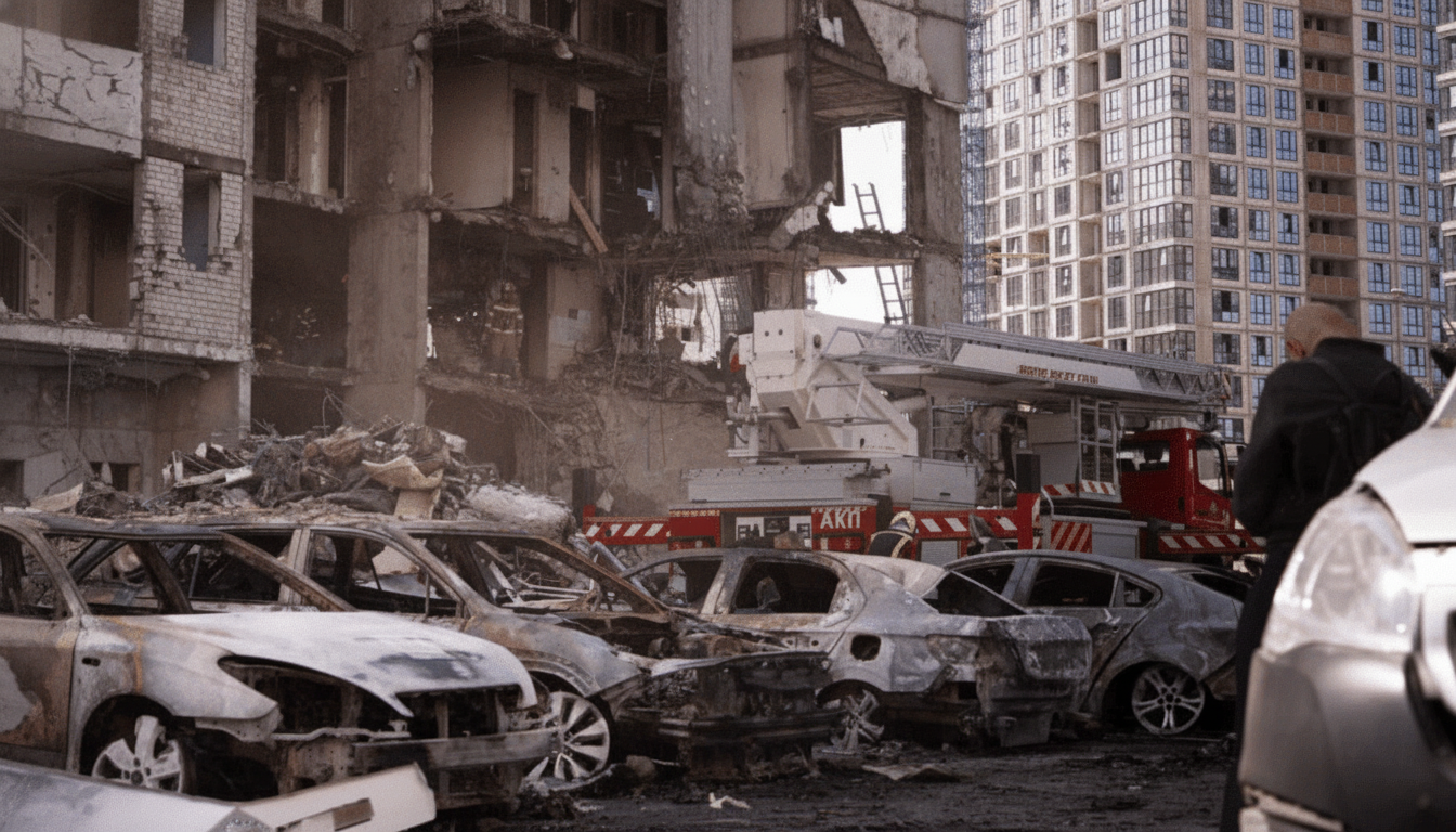
- Kyiv Rescue Workers Recover Man’s Body as Death Toll Hits 13 and Injuries Reach 56 in Russian Strike
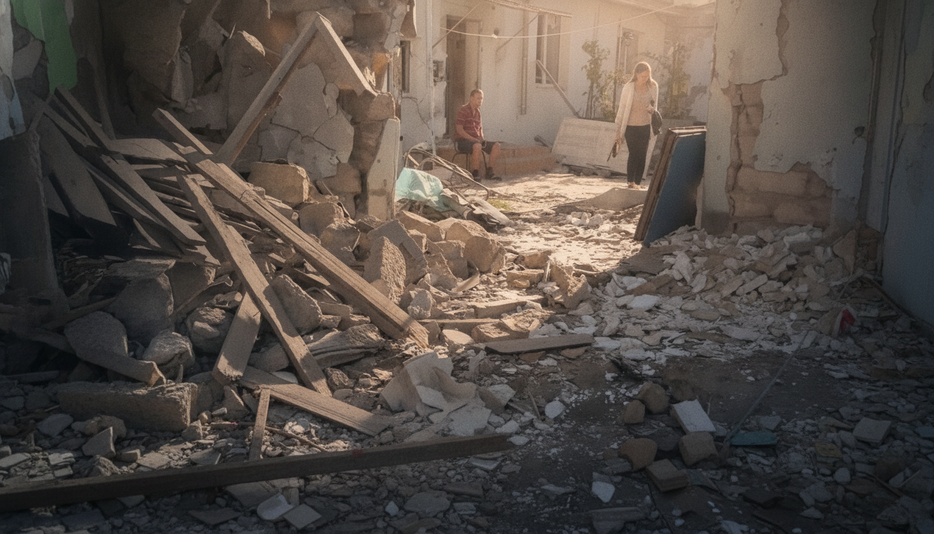
- Russian Forces Strike Odesa Overnight: 23-Year-Old Wounded, Five Homes Damaged
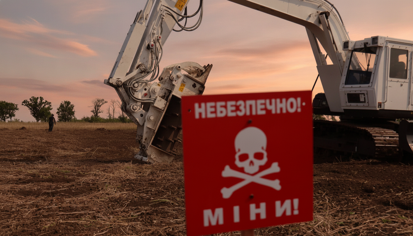
- Severe Injuries After Young Man Explodes Munition Found in Field Near Kharkiv
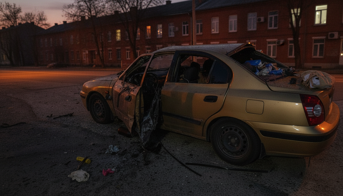
- Two Dead, Two Wounded as Russian Drone Strikes Civilian Car in Kherson
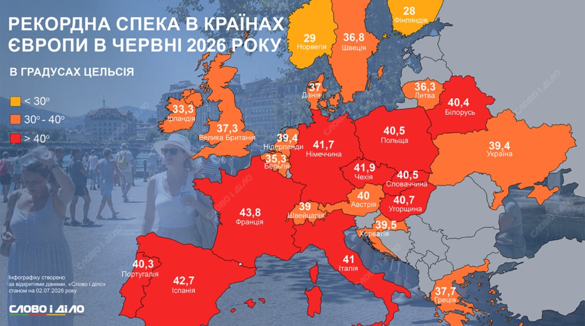
- Thousands Killed by European Heatwave: Which Countries Suffered Most?
- July 6th Attack on Kyiv Region Leaves 10 Dead and 48 Injured