The USA and Britain provided Ukraine with satellite images of the Kursk region before the offensive - NYT.

Having received satellite images and other information from the USA and Great Britain, Ukraine was preparing for operational actions in the Kursk region (RF). Such data was transmitted to Kyiv to monitor the movement of Russian military in this region.
According to American officials, this information and satellite images were transmitted to the Ukrainian command of the AFU for better control over the Russian reinforcements that could attack.
US specialists also note that the larger area of the RF that Ukraine is trying to occupy creates a risk of losing control over AFU supplies and air defense systems on the western border. Military officials also note that the deployment of the AFU in the Kursk region leads to the emergence of weak points on the front in the east of the country, especially in the Donbas, where intense Russian attacks are taking place.
"Ukraine has expanded the front line, which carries certain risks, as holding this line requires more personnel and equipment - which, in turn, can deplete some other part of the front or, more likely, reduce their existing reserves," said James Rands, an analyst at the British intelligence company Janes.
American military officials also point out that Ukraine is demonstrating its ability to conduct "combined arms" maneuvers in the Kursk region. Constant infantry, armored, and artillery attacks confirm this.
Source: RBC-Ukraine
Read also
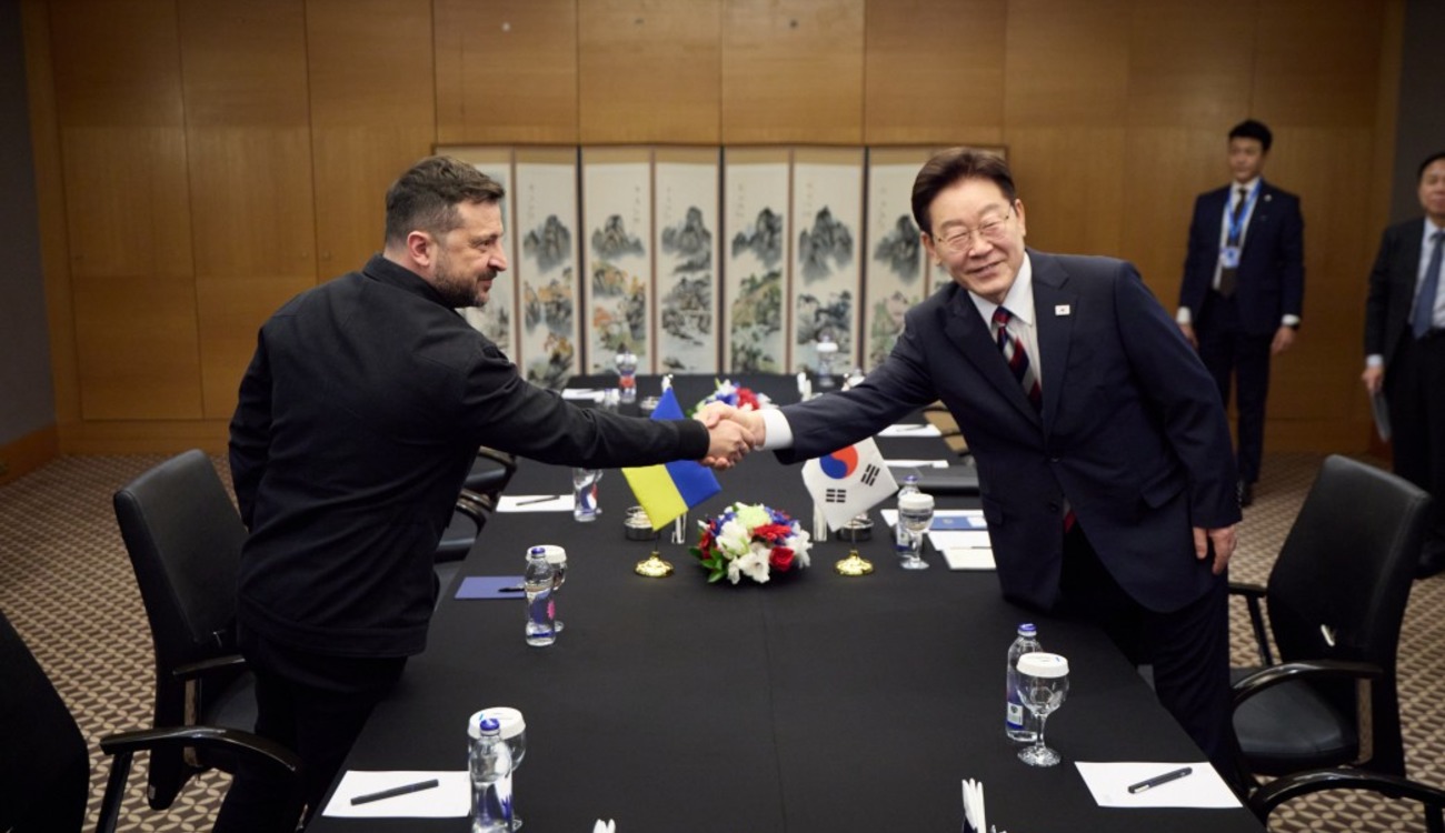
- South Korea Pledges $100 Million in New Aid Package During Zelenskyy’s NATO Summit Talks
- OSCE sets ceasefire condition: return of prisoners and deported children
- EU Accession Talks: Zelenskyy and Costa Discuss Final Five Clusters at NATO Summit
- Constitutional Safeguards for Ukrainians Abroad: What Rights the Nation Guarantees Its Citizens
- Why Erdogan Has Become NATO’s Key Ally as Trump Heads to Ankara
- Trump Slams Spain as 'Hopeless,' Calls for Trade Cutoff in Latest Blow to NATO