Urban Planning Cadastre connected over 1100 communities: how it will change city planning.


According to inkorr.com: At the national level, the Urban Planning Cadastre (UPC) is actively being implemented — an important digital tool for spatial planning and urban planning data management. According to the Ministry of Communities and Territories Development, 1,303 communities have already been granted the authority to create urban planning documentation, of which over 1,100 have connected to the UPC system.
'Connecting communities is not just a technical process. The UPC creates a full-fledged geospatial database that contributes to the development of territories, efficient use of land resources, and transparency of decisions made by local governments,' the agency noted.
As part of the UPC, 2,606 active documents are stored: 1,433 detailed plans of territories, 1,018 general plans, and 155 zoning plans. Moreover, the development of 599 urban planning documentation projects has begun, of which 14 have already been approved, including one comprehensive spatial development plan for the community.
Effectiveness of the UPC
Kiev, Kherson, and Poltava regions have successfully connected all their communities to the UPC and have already begun the process of uploading urban planning documentation. This indicates the effectiveness of digital tools in the field of territorial management. The UPC serves as the foundation for forming a transparent system of spatial planning, allowing communities to centrally store, update, and publish urban planning documents.
Thanks to the UPC, transparent interactions between citizens, businesses, and investors are ensured. Digital general plans and comprehensive spatial development plans are also created. The main goal of the UPC is to ensure effective management of territories and sustainable development of Ukraine through a unified digital base of spatial data.
Ukraine is actively developing the Urban Planning Cadastre system at the national level. This digital tool allows communities to carry out transparent, effective, and centralized planning of territory development, contributing to sustainable growth and optimal use of land resources across the country.
The Urban Planning Cadastre opens up new opportunities for the development of cities and villages in Ukraine, helping to resolve many issues related to land and planning. The active implementation of this tool is expected to have a positive impact on the quality of life in communities, simplifying the interaction processes between all participants in the urban planning process.
Read also
- New U.S. Tariffs Hit 60 Nations: Here Are the Rates for the EU and Russia
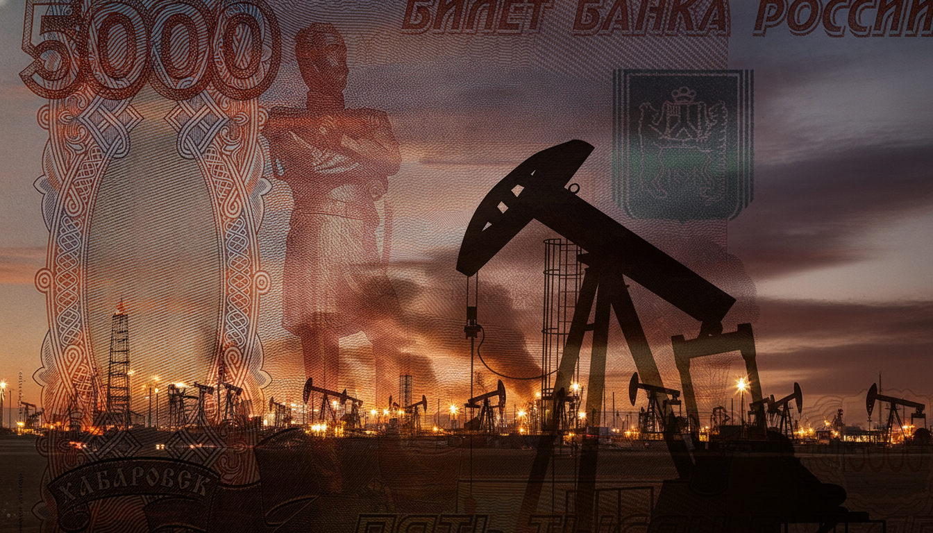
- Russia’s Oil and Gas Revenue Set to Surge by 60%—Here’s What’s Driving the Jump
- IMF Disburses $690 Million Second Tranche to Ukraine: Where the Funds Are Going
- Russia’s Budget Deficit Could Hit 7 Trillion Rubles—What Are the Default Risks?
- Expert Sets Critical Threshold: 60% of Russia's Oil Refining Capacity Must Be Destroyed
- Russia Faces Imminent Fuel Crisis: Why Refinery Recovery Is Nearly Impossible, Expert Warns