British Scientists Decipher the Oldest Map of the World: What It Shows.

British Scientists Decipher the Babylonian Cuneiform Tablet Imago Mundi
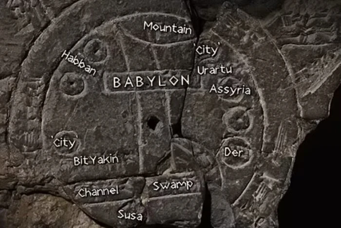
British scientists have achieved a real milestone by deciphering the Babylonian cuneiform tablet named Imago Mundi, which contains a map of the world. The tablet comprises a circular fragment of the map connected with text fragments that describe the creation of the world. The main feature of this artifact is the depiction of Mesopotamia, which was considered the world at the time the tablet was created.
The map depicted on the Babylonian tablet has a circular form, and the text is written using cuneiform—a writing system that used wedge-shaped symbols. The text describes the early creation of the world.
Mesopotamia as the Center of the World
In the central lower element of the map is Mesopotamia. Two circles surrounding the central part are the most unique elements of the map. Researchers confirmed that the circle surrounding Mesopotamia on the tablet symbolized the Babylonians' belief that this region was the center of the world, although they understood that Mesopotamia was part of a larger landmass.
The map also contains cuneiform inscriptions indicating the name of the city or tribe that inhabited this region. Among the cities and tribes mentioned in the text are Assyria, Der, and Urartu.
Rare Artifacts in Turkey
Unfortunately, the text contains a block "Read also:", which we must remove.
Incidentally, recently in Turkey, archaeologists discovered two extremely rare seals with animal depictions during excavations at the Arslantepe Mound. The age of these artifacts is approximately estimated at 7 thousand years.
Read also
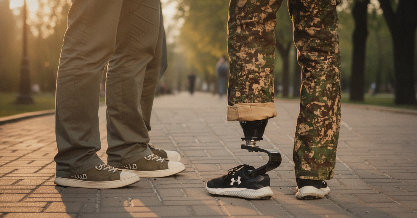
- Thousands of Ukrainians Have Lost Limbs in the War: Stories of Recovery and Prosthetics
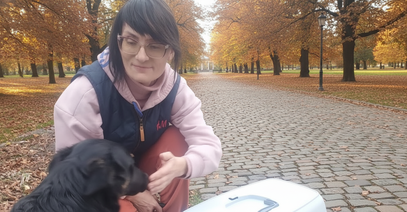
- Animal Rescue Volunteer Dies on Bridge in Druzhkivka: She Stayed Behind for Her Husband
- Cultural Resistance in Wartime: The Band 'Pie and Whip' on Their Viral Hit 'The Groves Are Rustling' and Serving in Ukraine's Armed Forces
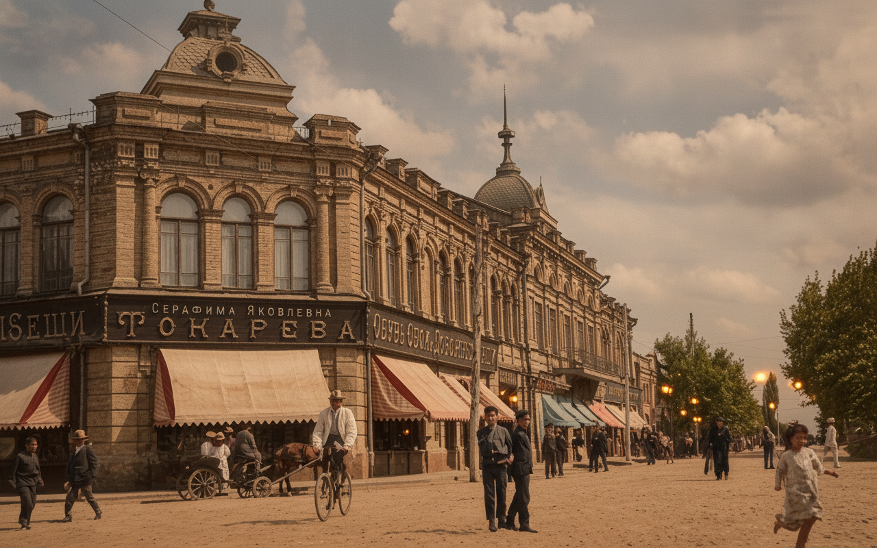
- A YouTube channel breathes life into century-old photos of Poltava
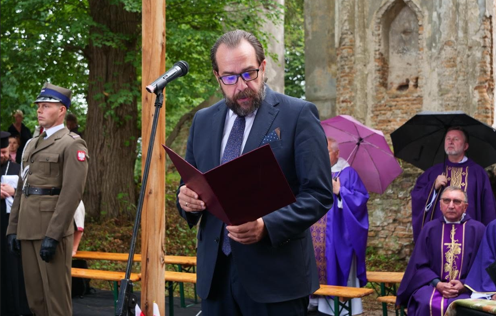
- Polish Ambassador Honors Victims of the Volyn Tragedy in Olyka: Shared Remembrance Without Hatred
- Veterans Blame Red Tape as State Spending on Prosthetics Jumps 60%