A New Map Reveals Antarctica's Hidden World Beneath Miles of Ice.


Unveiling Antarctica's Subglacial Terrain
According to TSN.ua: Researchers have produced a comprehensive new map of Antarctica, detailing the continent's landscape concealed beneath its ice sheet. This work charts ancient river valleys and topographical features buried under ice ranging from two to 30 kilometers deep, marking a major advance in understanding the region's geography and structure.
The map has uncovered thousands of previously unknown hills and ridges, opening new avenues for investigating Antarctica's geological history. The study's lead author, Dr. Helen Ockenden, stated:
“Scientists have found evidence of thousands of previously unknown hills and ridges.” — Dr. Helen Ockenden
This discovery could fundamentally reshape our understanding of the subglacial landscape and the geodynamic processes at work in the region. Antarctica's ice sheet holds the vast majority of Earth's fresh water, making its underlying structure crucial for climate models.
Methodology and Broader Implications
To compile the map, the team integrated satellite imagery, ice thickness measurements, and data on ice flow. The application of these modern technologies has yielded detailed information about the terrain's configuration beneath the massive ice sheet, which is of significant interest to the scientific community.
This research may also aid in understanding how climate change impacts the Antarctic ice cover and its ecosystems. A clearer picture of the continent's geological foundation can help improve predictions of ice sheet stability and future sea-level rise, making this data vital for global environmental monitoring. These new findings are likely to spur further research in fields like geology and climatology.
Read also
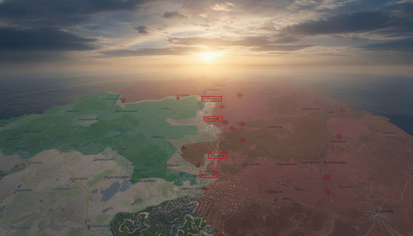
- Ukrainian Forces Push Back Russian Army on the Alexandrovsk Front: New Gains Reported
- Can Russia Capture Kramatorsk and Sloviansk? The Growing Pressure in Donetsk Region
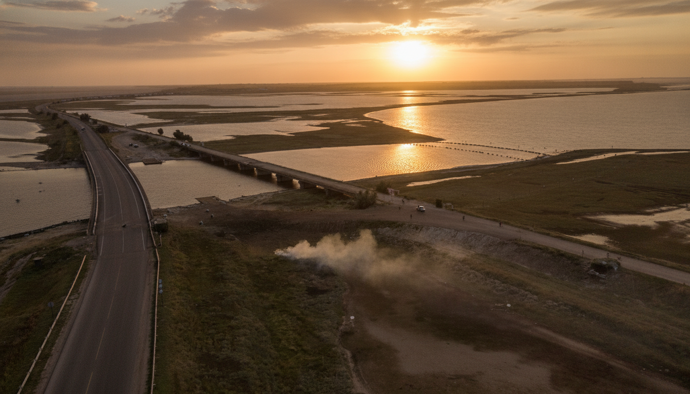
- Ukrainian Drones Cripple Chongar Bridge to Crimea: Key Details on the FrontStrike Operation
- Overnight Drone Strike in Odesa Injures Woman and Two Children
- Ukraine Disables Russian Shadow Fleet Tanker and Destroys Missile Arsenal
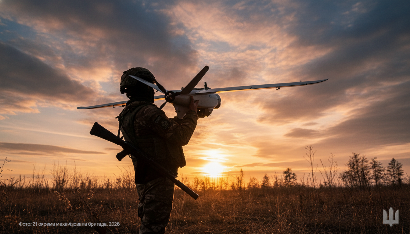
- Ukraine Strikes Drone Factory and Oil Refinery in Russia – Targets Hit Up to 900 Kilometers Away