Syrskyi showed which territory of the Russian Federation is controlled by Ukraine (map).

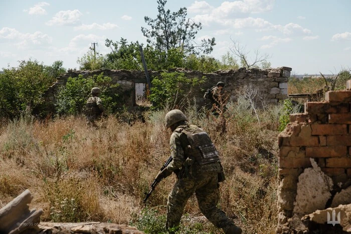
The Armed Forces of Ukraine control an area of 1263 sq. km and 93 settlements in the Kursk region. This was announced by the Commander-in-Chief of the Armed Forces of Ukraine, Oleksandr Syrskyi, during the Congress of Local and Regional Authorities.
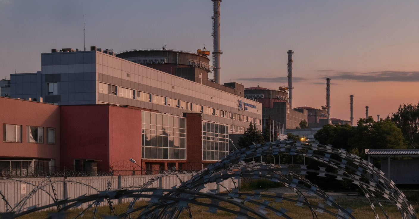
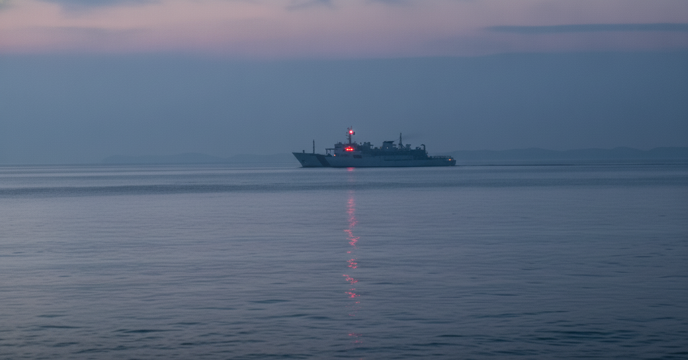
Syrskyi stated that the Russians continue to shell settlements in the Sumy and Chernihiv regions, as well as conduct provocations and sabotage-reconnaissance activities. In order to create a security zone and stop the shelling, Ukrainian forces conduct offensive defense in the Kursk direction.
Syrskyi noted that Ukrainian forces continue to advance deeper into the territory, while Russian troops try to repel them and strengthen their positions. Further actions of Ukrainian troops in this direction will depend on the situation on the battlefield.
Syrskyi also showed a map of the territory controlled by Ukrainian troops in the Kursk region. From Korenivka to Sheptukhivka and Spalne, the Ukrainian army controls a certain piece of land. From Sheptukhivka to Lgov and the E38 highway, it is 35 kilometers.
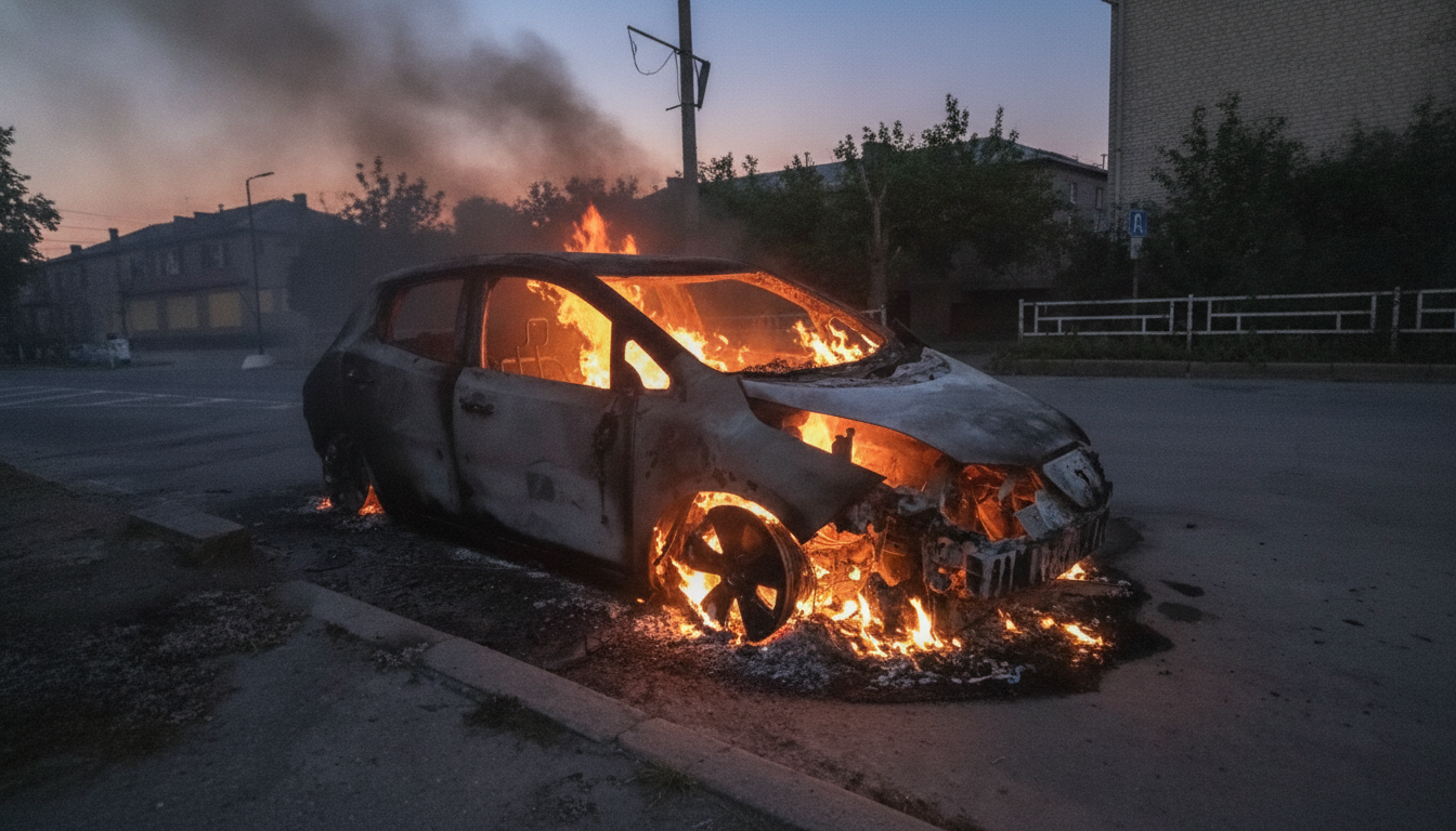
It is also reported that Russian President Vladimir Putin sent conscripts to Kursk, although earlier he stated that they would not participate in combat operations. This caused shock among the Russian population.
According to The Times, Ukrainian forces have a firepower advantage and have already captured hundreds of Russian soldiers.
Earlier, Putin ordered his troops to expel Ukrainian forces from the Kursk region, but to leave forces in the Donbas.
It should be reminded that Putin acknowledged difficulties on the front during a meeting with the President of Azerbaijan, Ilham Aliyev.
Read also
- Russia Plunges Into the Abyss: Opposition Warns of a Collapse in Putin’s Regime
- Why Putin Has No Choice but to Declare Full Mobilization, According to a Former Israeli Ambassador
- Putin Is Losing the War and Faces a Tough Choice, Expert Warns
- Why Ukraine Must Consider Concessions as Putin Signals Readiness to Prolong the War
- Russia Set for Rocket Launches from Plesetsk: Key Details on the 'Rassvet' Mission
- By Fall 2023, Putin Faces a Dilemma: Personal Defeat or National Loss