Odesa has published a flooding map: which areas are at risk.

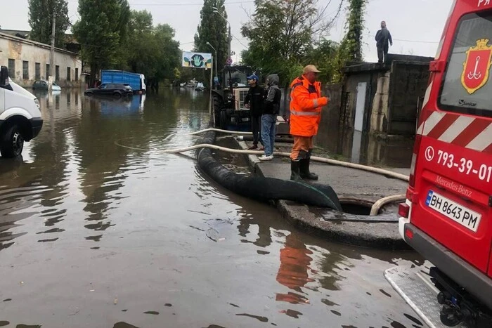
According to inkorr.com: In Odesa, areas and streets that may be at risk of flooding during heavy rains have been identified. This was reported by the city's mayor, Hennadiy Trukhanov.
Areas with the highest flooding risk:
- Vapnyana Street;
- Primorska Street;
- Otaman Holovaty and Chornomorsky Cossacks streets;
- other areas marked on the map.
Safety recommendations
The mayor urged residents to follow basic safety rules:
- avoid staying in basements and semi-basements during heavy rains;
- limit access to underground parking in buildings with homeowners' associations;
- prepare for evacuation if required by rescuers;
- in case of flooding threat, leave the house in advance or contact local authorities;
- avoid staying in low-lying areas and open spaces during rains.
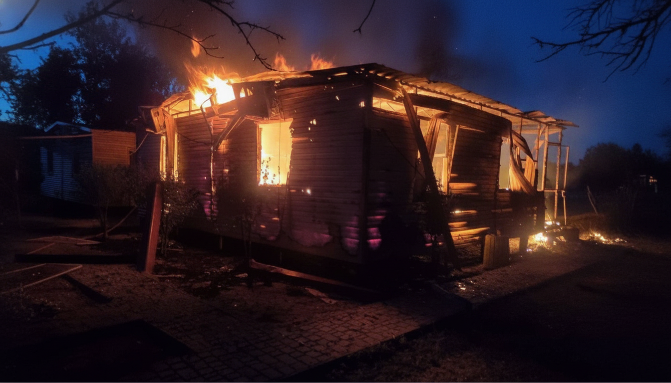
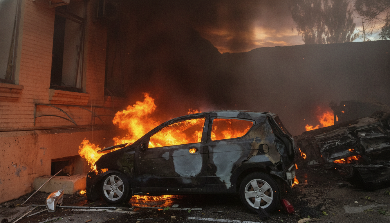
Efforts to mitigate the consequences of the disaster in Odesa are ongoing. Deputy Prime Minister Oleksii Kuleba held a meeting with local authorities, during which significant damage in the city was confirmed. Currently, over 800 damaged houses have been reported.
The fight against the consequences of heavy rains continues in Odesa. The mayor emphasized the importance of following safety rules. The situation remains tense, and rescue services are doing everything possible to ensure the safety of residents. Life in the city continues to face serious challenges due to natural disasters.
Read also
- After Dismissal, Odesa Ex-Mayor Trukhanov Receives 545,000 Hryvnia Payout: What We Know
- Odesa's Ex-Mayor Appeals to Zelenskyy to Revoke Citizenship Decree, Denies Russian Passport
- Former Odesa Mayor Trukhanov Freed from House Arrest in Negligence Case
- Free Buses Launching in Odesa: Who Will Be Able to Use Them
- Former Odessa Mayor Trukhanov appeals house arrest: what is known about the case
- Former Mayor of Odesa Trukhanov Under House Arrest: What Caused It