How the Drying of Ancient Tibetan Lakes Triggers Earthquakes.

Seismic Activity in Southern Tibet Under Scrutiny
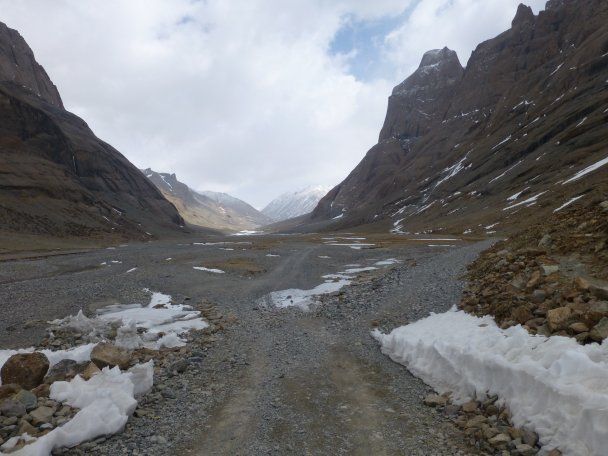
According to TSN.ua: A research team from the Chinese Academy of Geological Sciences has uncovered a link between the shrinking of ancient lakes and increased seismic activity in southern Tibet. Their study found that the loss of water volume from these lakes has reduced pressure on the Earth's crust, causing it to rise and triggering movement along geological faults. This region, once the shoreline of vast lakes approximately 115,000 years ago, remains geologically active due to the ongoing collision between the Indian and Eurasian tectonic plates, which began around 50 million years ago. This tectonic pressure makes the area particularly sensitive to changes in surface weight.
Hydrological Shifts as a Seismic Catalyst
The research focused on Lake Nam Co, which now stretches 75 kilometers in length. Scientists determined that as this lake dried up between 115,000 and 30,000 years ago, the reduced weight on the crust caused the nearest fault to shift by 15 meters. Furthermore, faults to the south experienced a displacement of 70 meters. These findings strongly indicate that changes in local water systems can significantly influence seismic patterns in the region.
Fault lines in southern Tibet are currently moving at a rate of 0.2 to 1.6 millimeters per year. The last glacial maximum occurred about 20,000 years ago, and the subsequent melting of glaciers led to a notable uplift of the crust roughly 10,000 years ago. Such geological adjustments can have profound implications for regional stability, as seismic events pose serious risks to local communities. Understanding these ancient processes helps scientists model potential future hazards.
Historical records for the region already document a series of powerful earthquakes, including magnitude 7-8 events in the Mississippi River Valley that took place between 1811 and 1812. Grasping the connections between changing water volumes in lakes and seismic activity is therefore a crucial step in deciphering the complex geology of southern Tibet.
This study underscores the vital need for continued monitoring of hydrological changes, as they can substantially impact seismic risk. Given southern Tibet's history of major earthquakes and its active tectonic setting, these research results could prove invaluable for developing improved risk mitigation strategies and raising public awareness of potential geological threats.
Read also
- Moscow Redirects Ukrainian Drones; Kyiv Pitches 'Drone Deal' to Shield Europe
- Investigation Concluded After Russian IL-18 Violates Finnish Airspace
- Iran Hit by US Strikes After Apache Helicopter Downed
- Ukrainian Forces Strike Ammunition Depots in Russia’s Belgorod Region: Inside the Successful Operation
- Finland Concludes Border Breach Probe: Russian IL-18 Jet Entered Its Airspace
- Ukrainian Forces Strike 36 Russian Targets: Moscow’s Daily Losses Revealed